Back in cactus country
10/29/2018. Elevation 4811
We did 238 expressway miles today mostly FBB (Flat Brown & Boring). Once we got to the western edge of the TX panhandle/NM border we started seeing flat top messes. While it looks flat the ground is tilted at a fuel milage sucking upward angle. The gusty head / sideways wind didn’t help anything either.
We’re staying here in a New Mexico State Park, for 3 nights because of a fast moving cold front moving through. It’s a strange set up here and I bet it causes some trouble in the summer months. Without reservations, like we did, you enter the CG, the empty spots have a green sign on them saying that the site is available for just 1 night. That’s it that’s all you can have the spot for. If you want to stay longer you have 2 choices, stay and hope nobody reserves your spot online forcing you to move or you can reserve the spot online, for an additional $8 dollar fee.
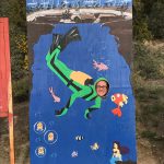
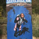
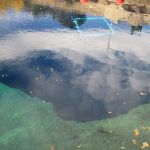
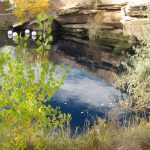
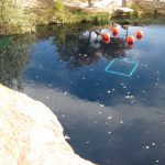
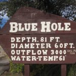
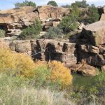
The Blue Hole in on the southern edge of Santa Rosa, I have seen a couple of videos about it but didn’t realize where it was until we followed the signs. It’s clear blue, that you can see way down but not quite to the bottom, it’s 81 feet deep 60 feet around and cold at 61 degrees with an outflow of 3000 gallons a minute. Where else in the desert can one swim or go scuba diving?
10/30/2018
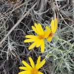
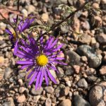
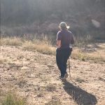
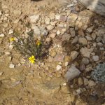
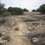
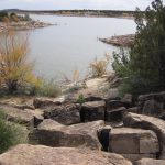
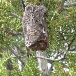
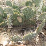
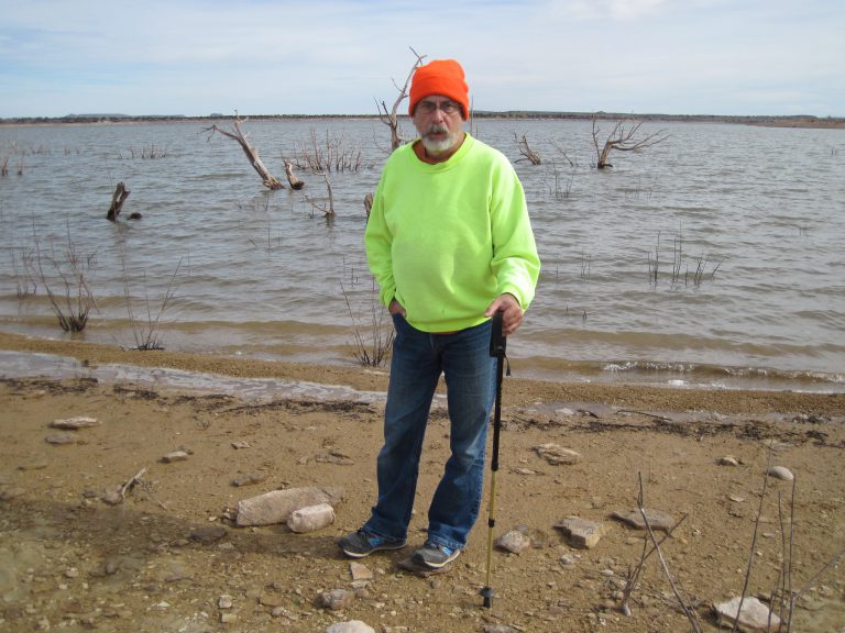
We did a few hikes today, the longest at 3.125 miles along the pre drought shore line of Santa Rosa Lake. Yup, you guessed it it’s down also. Along with the usual cacti and other plants found in this area we also found a bat, in a tree, he looked cold to me, we had on long sleeves and it was kinda overcast . I looked around and didn’t see any others “hanging” around. He was hanging just above my eye level, at first sight I thought it was some kind of strange growth on the tree.
Then by far the most strenuous hike we did was the 1.7 mile hike we did behind the dam, wow, coming back up that hill got the ole heart rate up. We ended having to stop once to catch our breath. It was even a paved and gravel road, the steep parts were paved.
The dam is across the Pecos River, it’s not much of a river, here at least, but where water is scarce it’s vital.
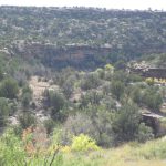
Over all it’s an area large area we’re in the “Staked Plains” https://en.m.wikipedia.org/wiki/Llano_Estacado
Last but not least you guys sure are slipping on your rude comments about a picture I posted the other day.
Please enter your name and email address to subscribe
**Click on photos to enlarge**
See all the pictures at RMTravels.smugmug.com
Hello
Welcome to my spot on the web. My wife and I are retired and live and travel full-time in our motorhome.
You can also find us on Facebook – RMTravels
Categories
Past Ramblings
Recent Posts
Recent Comments
- Rex on 2 nights in a pumpkin patch
- Rex on Please Read
- Gayle Van Sessen on Please Read
- Jim on 2 nights in a pumpkin patch
- Rex on This is a test
Archives
- October 2023
- June 2023
- April 2023
- March 2023
- February 2023
- January 2023
- December 2022
- November 2022
- October 2022
- September 2022
- July 2022
- June 2022
- May 2022
- April 2022
- March 2022
- February 2022
- January 2022
- November 2021
- October 2021
- September 2021
- August 2021
- July 2021
- June 2021
- May 2021
- April 2021
- March 2021
- February 2021
- January 2021
- December 2020
- November 2020
- September 2020
- August 2020
- July 2020
- June 2020
- May 2020
- March 2020
- February 2020
- November 2019
- October 2019
- September 2019
- August 2019
- July 2019
- June 2019
- May 2019
- March 2019
- February 2019
- January 2019
- December 2018
- November 2018
- October 2018
- August 2018
- July 2018
- June 2018
- May 2018
- March 2018
- February 2018
